VUE logo white

Terrains & Planets

Artwork by Alen Vejzovic

The Groundwork For Any Environment

From large scale to small scale scenes, terrains serve as the base for scene creation. VUE offers nodes, sculpting and painting tools to create any terrain shape, be it surreal or realistic. Import real-world satellite data and external heightfields and enrich them with procedural tools. Even entire planets are possible. Whether you need canyons, mountain ranges or rolling hills, the terrain features will cater to your needs.
Heightfield and procedural terrains

Heightfield & Procedural Terrains

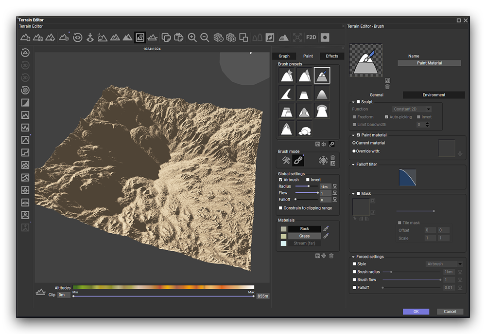
Terrains are available in two versions: heightfield, which uses a fixed resolution, and procedural, which adds infinite fractal detail the closer the camera is. Both terrain types can be driven by a node graph, imported greyscale heightmaps, and 2D or 3D hand-sculpted shapes. Mix and match each of these approaches as needed.
 
Special terrain fractals, strata, erosion, terracing and blur nodes recreate realistic geological features with fully non-destructive controls. Procedural terrains can be extended in any direction, essentially adding more terrain to the already existing area. Create and extract zones of a procedural terrain as separate terrains into the scene and work only on the extracted localized detail. Terrains can also be displaced through materials to create overhangs, rock outcrops and other 3D detail.
Artwork by Paul Sireau

Departure by Barry Marshall

Infinite And Planetary Terrains

Procedural terrains can operate as infinite terrains. In this mode, the terrain shapes are indeed truely infinite and will extend towards the horizon as far as the camera field of view allows.
 
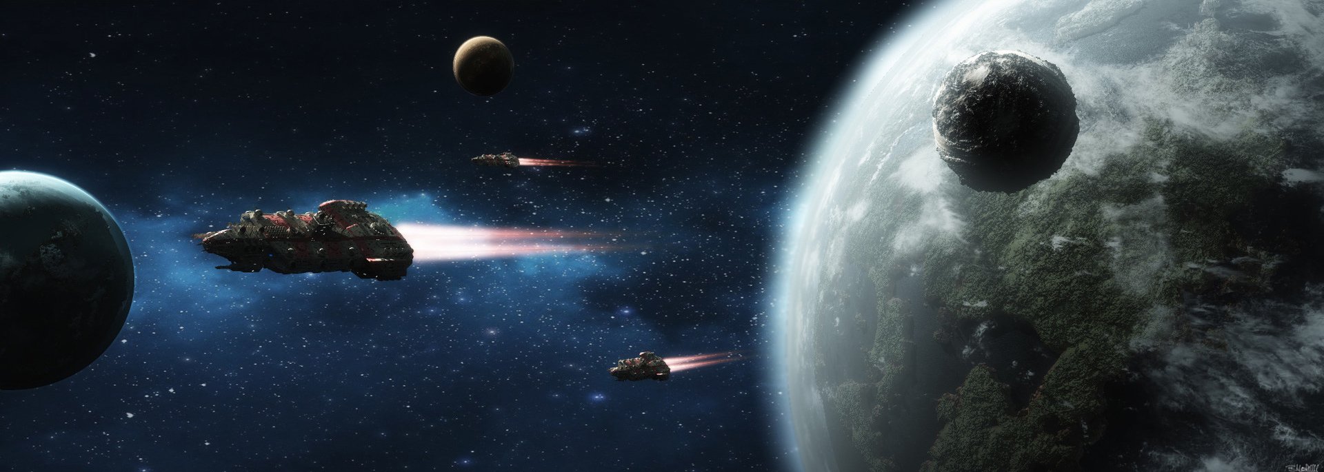
When setting an infinite terrain to a spherical projection mode, it becomes an entire planet with customizable radius which you can view from outer space with clouds and realistic atmosphere. Just move the camera high above the ground and render. Thanks to infinite fractal detail, you can also zoom from outer space back to the smallest pebble on the ground.
Artwork by Barry Marshall

Artwork by Aron Kamolz

Real-world terrains

Real-world Terrains

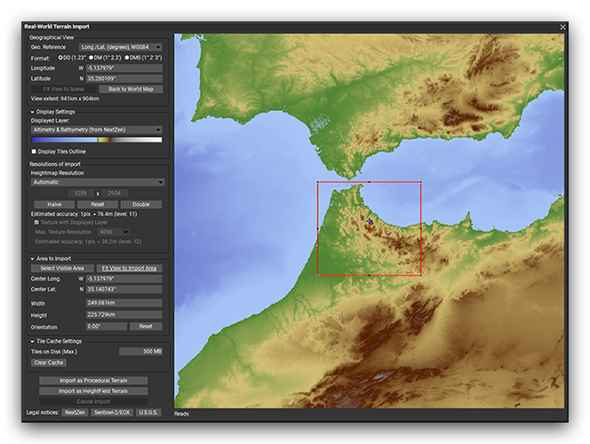
Import real-world satellite data as terrains directly from within VUE. Choose from a variety of different DEM data providers such as USGS or Sentinel and import heightfield and satellite texture images as pre-textured terrain objects into the scene.
 
An interactive world-map based on geo coordinates makes finding the right spot easy. Just research the coordinates of your favorite landmark or terrain formation, enter them and press import. VUE will fetch all heightfield and texturing tiles and create a matching terrain object.
 
This generated terrain retains its real-world scaling and can be combined with any node network for adding infinite fractal detail. Real-world terrains work both as heightfield and procedural terrains.

VUE used in The Lorax, Copyright Universal Pictures

Terrain Export

Export terrain heightfields into a variety of image file formats, including 16 bits and 32 bits. Terrains can alternatively be baked to polygon meshes, with or without material displacement applied to the baking process, and auto-UV-unwrapped for use in sculpting applications.
 
With the VUE integration plugins, terrains can be converted to native scene objects with pre-built materials for several target render engines.
More about VUE